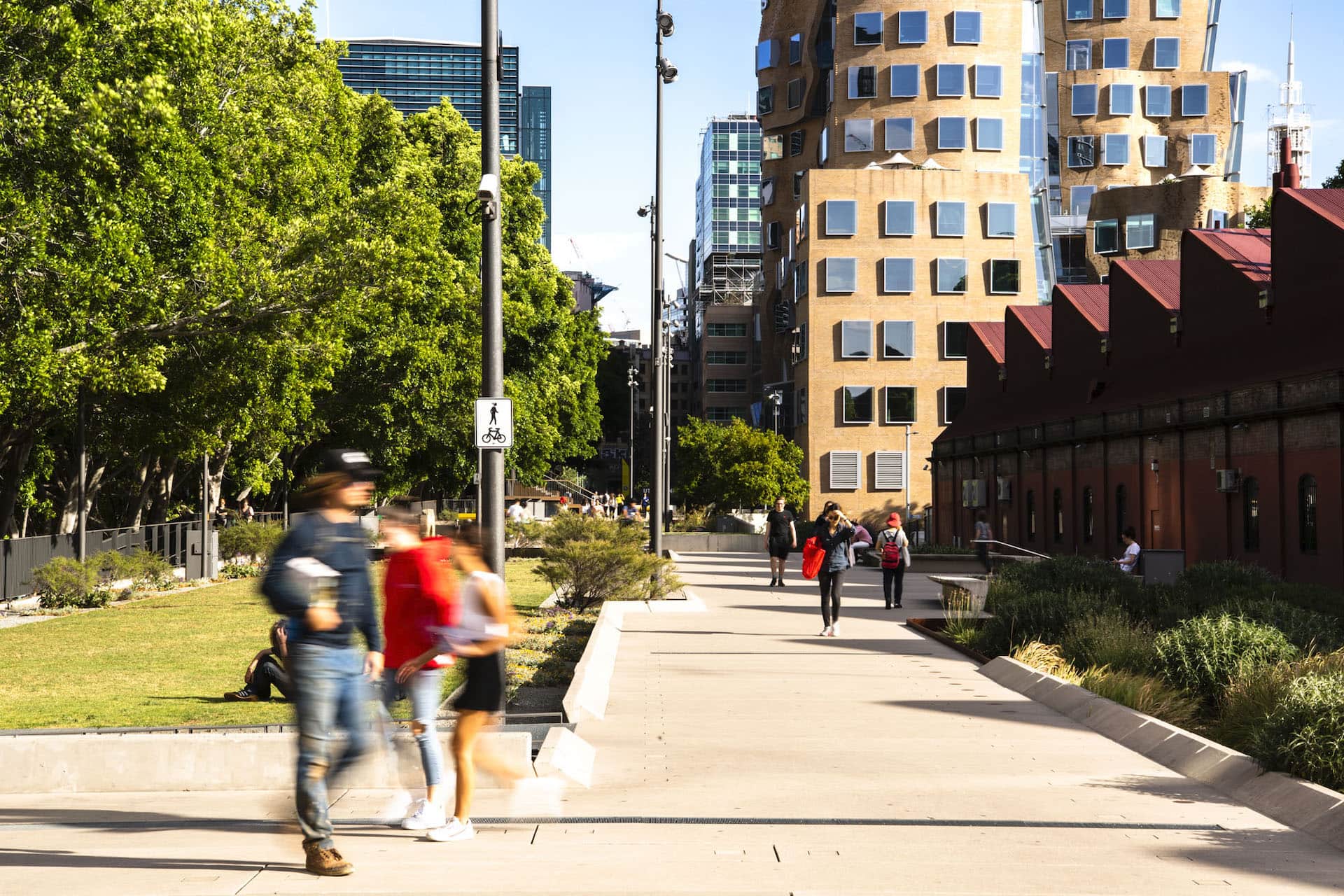
A revitalized rail corridor transformed into a vibrant green space
The north section is adjacent to the UTS Dr Chau Chak Wing building and the Museum of Applied Arts and Sciences, it features a shared pedestrian and cycle path, landscaped areas, table tennis tables, a small playground and seating.
Application and booking information
-
Photography
-
Product sampling Public product displays
-
Filming
- Pedestrian thoroughfare
- Passive recreation
- Established outdoor furniture and landscaping
- Amenity of nearby residents
- Cumulative impact of temporary events
- Restricted loading areas
- No vehicle access
- No onsite toilets
-
Surface
Grass and paved areas
-
Toilets
None on site, closest on Tumbalong Boulevard under the Pier St Overpass
-
Pedestrian access
Darling Drive, Hay St, Mary Ann St, Ultimo Road
-
Parking
Market City, Darling Quarter and ICC Sydney Carpark
-
Power
Various 32 amp, 15 amp and 10 amp
-
Water
Multiple potable taps
In addition to general standards/criteria, the proposed event must:
- Maintain pedestrian thoroughfare
- Be respectful of nearby residents
- Not use pegs or stakes to secure items on the grassed area
